Focussing on the role of non-humans in map-making, such as coastal sand resources, IDOS researchers and other experts took a step forward in mapping multiple truths, inequalities and vested interests in the coastal and ocean environments.

Under the title “Mapping blue infrastructures at the Royal Geographical Society” Ramona Hägele (IDOS and University of Würzburg) and Dennis Schüpf (IDOS) organised a joint session at the RGS-IBG Annual International Conference 2024, which took place in London from 27 to 30 August. The panel consisted of four contributions diving into empirical cases of Japan, China, India, and the Labrador Sea. The focus ranged from historical cartography to the newest practices of map-making.
Maps mark territory and sovereignty, but also ascribe meaning to contested and historical landscapes. Ramona Haegele presented her research on “Mapping a Deep-Sea Channel: Sensory Landscape and Experiential Knowledge in Science Making on a Research Vessel”, which zoomed into the daily practices of natural scientists in mapping a deep-sea channel.

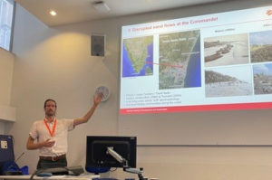
With his research on the role of sand resources for coastal adaptation in southern India, Dennis Schüpf highlighted how the loss of beach forces traditional fisheries to adapt by moving where the sand flows. Further speakers include Xiaoxuan Lu, Associate Professor at the University of Hong Kong. She mapped the hydrosocial territories of Shenzhen, including the co-production of water, mega-infrastructure, socio-political decision-making and territorial transformation. Masaaki Okada, Professor of Kindai University, Japan, presented how water represents the lifeblood of the paper and pulp industry and how these entanglements add to local identity.
The panel concluded with enriching and fruitful discussions between the audience and the panelists.

Schreibe einen Kommentar